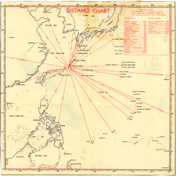
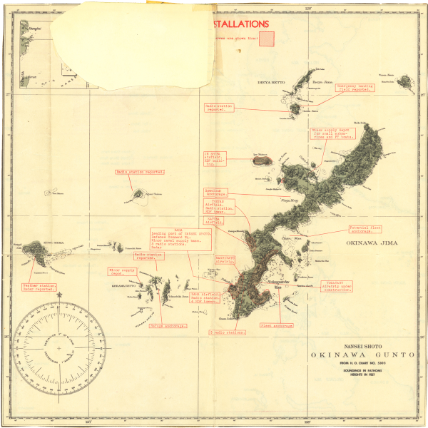
This map was originally tucked (glued) into the journal, but had since been divorced from the book. I found it amongst some other paperwork. I am guessing it was standard issue and something most naval troops had. I have Googled the document number with no hits to find out more about it. If anyone knows more, let me know.
The map’s legend reads:
NANSEI SHOTO
OKINAWA GUNTO
FROM H. O. CHART NO. 5303
The covered note in side 2 is “NOTE: Defense concentration areas are shown thus: [shaded in red.]” The upper-right is a “key map” simply showing the relationship of this map with the greater continent.

